Western Neighborhoods Project is dedicated to the history of San Francisco's Richmond, Sunset, OMI and West of Twin Peaks districts.   read more ...

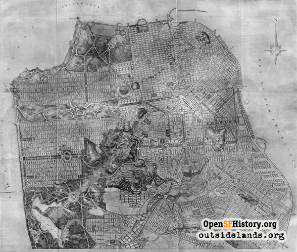
Burnham Plan, 1905 1905

Map of San Francisco showing Daniel Burnham's plan for a huge 4,764-acre park extending from Twin Peaks to Lake Merced. It was to be San Francisco's largest, dwarfing Golden Gate Park to the north.
Original image from "Report on a Plan For San Francisco," Daniel Burnham, 1905. Digital image from David Rumsey Map Collection. ()

Burnham Plan, 1905 Burnham Plan, 1905

<< back to previous page

Copyright: Responsibility for observance of copyright protections when using or copying images rests exclusively with the user. Images are provided here under Fair Use. Questions about use? Use the Contact Button below.
Citation: Please cite this image with the following:
Western Neighborhoods Project - burnham-plan
More Info... Keywords: map
Neighborhoods: All

Use this form for any comments, corrections, or thoughts you have on this particular image.