Western Neighborhoods Project is dedicated to the history of San Francisco's Richmond, Sunset, OMI and West of Twin Peaks districts.   read more ...

1850s SF Map Dec 23, 1923

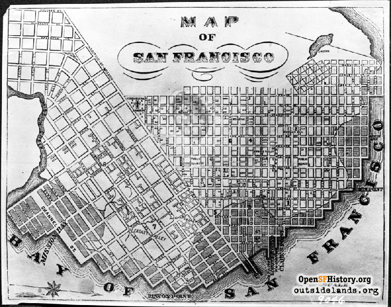
Map of SF 1850s [dpwbook34 dpw9046] 1850s map of San Francisco, bordered on west by Larkin Street, on south by Mission Creek, on north by Jefferson St, on east by East Street. Other features: Pleasant Valley; Happy Valley; Yerba Buena Cemetery; Spring Valley; Mission Creek; early waterfront; lagoon. Renamed streets: Simmons St; Pride St; Jonston St; Throne St; Brown St; Ellen St; Tracy St; central St; Sparks St; Marlette St. Areas: Russian Hill; South of Market; Market Street; Mission Bay; public squares.
DPW Horace Chaffee (SF Department of Public Works / Courtesy of a Private Collector)

1850s SF Map 1850s SF Map

<< back to previous page

DOWNLOAD a watermarked copy for use on your web site.
Copyright: Responsibility for observance of copyright protections when using or copying images rests exclusively with the user. Images are provided here under Fair Use. Questions about use? Check our Permissions Page.
Citation: Please cite this image with the following:
Western Neighborhoods Project - wnp36.03150
Keywords: dpw drawing map
Neighborhoods:

Use this form for any comments, corrections, or thoughts you have on this particular image.