
On the Map (click marker for larger map)
DOWNLOAD a watermarked copy for use on your web site.
Copyright: Responsibility for observance of copyright protections when using or copying images rests exclusively with the user.
Images are provided here under Fair Use. Questions about use?
Check our Permissions Page.
Citation:
Please cite this image with the following:
Western Neighborhoods Project - wnp36.03508
Western Neighborhoods Project - wnp36.03508
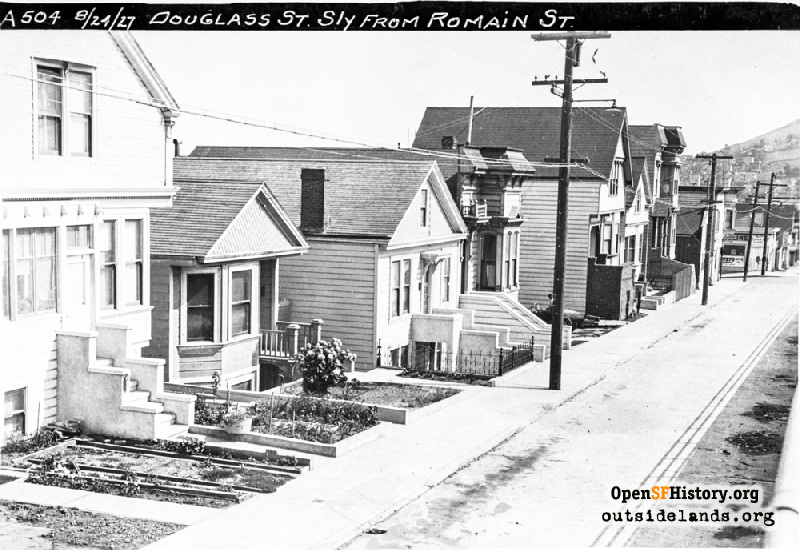
Keywords: residential houses victorian dpw
Neighborhoods: Eureka Valley
Neighborhoods: Eureka Valley
Use this form for any comments, corrections, or thoughts you have on this particular image.
possibly related images


