Western Neighborhoods Project is dedicated to the history of San Francisco's Richmond, Sunset, OMI and West of Twin Peaks districts.   read more ...

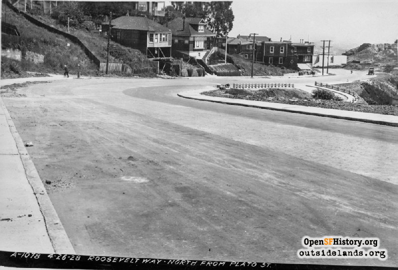
Roosevelt near Masonic Apr 26, 1928

View north on newly completed Roosevelt Way. This stretch of Roosevelt was completely new and connects to the former right-of-way of Pluto Street, part of which remains as Loma Vista Terrace. 330 Roosevelt, formerly 1665 Masonic, at center (with dormer window) still stands in 2021. Masonic intersects at left, Levant Street intersects at right, and Corona Heights is visible in the background right. [Roosevelt Way north from Plato St.(should be Pluto Street)][dpwbook41 dpwA1078]
DPW Horace Chaffee (SF Department of Public Works / Courtesy of a Private Collector)

Roosevelt near Masonic Roosevelt near Masonic

<< back to previous page

On the Map (click marker for larger map)
DOWNLOAD a watermarked copy for use on your web site.
Copyright: Responsibility for observance of copyright protections when using or copying images rests exclusively with the user. Images are provided here under Fair Use. Questions about use? Check our Permissions Page.
Citation: Please cite this image with the following:
Western Neighborhoods Project - wnp36.03639
Keywords: dpw vista unbuilt residence
Neighborhoods: Buena Vista

Use this form for any comments, corrections, or thoughts you have on this particular image.