Western Neighborhoods Project is dedicated to the history of San Francisco's Richmond, Sunset, OMI and West of Twin Peaks districts.   read more ...

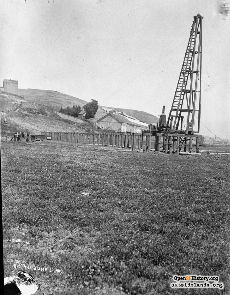
Alemany near Crescent Jun 1, 1900

Islais Creek, View northeasterly near Alemany at Crescent. The house on the hill at the left edge of the photo was on the west side of Putnam between Ogden and Tompkins. The barn was in the southern-most corner of the Alemany Farmer's Market. Both the house and the barn are clearly visible in photo wnp36.00335.jpg (1913). The University Mound aqueduct was built in the late 1800's, but is being updated here in 1900. Pier and pile driver, undeveloped part of Bernal Heights with barn behind. Later views will show the Ocean Shore Railroad trestle through this view. [274-D]
Spring Valley Water Co. (SFPUC - Spring Valley Water collection / Courtesy of a Private Collector)

Alemany near Crescent Alemany near Crescent

<< back to previous page

On the Map (click marker for larger map)
DOWNLOAD a watermarked copy for use on your web site.
Copyright: Responsibility for observance of copyright protections when using or copying images rests exclusively with the user. Images are provided here under Fair Use. Questions about use? Check our Permissions Page.
Citation: Please cite this image with the following:
Western Neighborhoods Project - wnp36.10020
Use this form for any comments, corrections, or thoughts you have on this particular image.