Western Neighborhoods Project is dedicated to the history of San Francisco's Richmond, Sunset, OMI and West of Twin Peaks districts.   read more ...

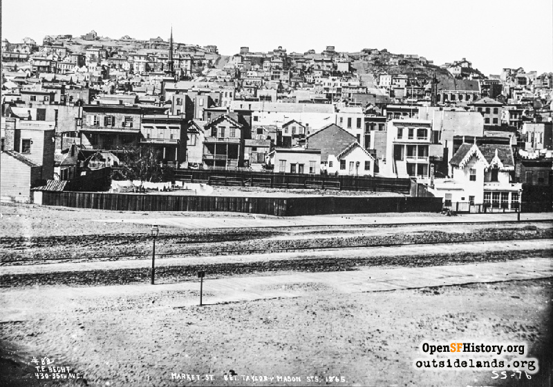
Market near Taylor Jun 1866

Elevated view north across Market to track of Market St Railroad. Spire of Second Congregational Church, later known as Plymouth Church, at left. Tenderloin, at the time known as St. Ann's Valley. Nob Hill in the background with no mansions. Inscription says 1865, but is more likely 1866 because of railroad ties. Lawrence and Houseworth No. 147, 'San Francisco, from cor. Market and Sixth Sts., Looking North to Powell and California streets.' is same image with different cropping. [TEH82? T.E. Hecht, Market St. Bet. Taylor & Mason Sts 1865 SS-76]
Lawrence & Houseworth (Marilyn Blaisdell Collection / Courtesy of a Private Collector)

Market near Taylor Market near Taylor

<< back to previous page

On the Map (click marker for larger map)
DOWNLOAD a watermarked copy for use on your web site.
Copyright: Responsibility for observance of copyright protections when using or copying images rests exclusively with the user. Images are provided here under Fair Use. Questions about use? Check our Permissions Page.
Citation: Please cite this image with the following:
Western Neighborhoods Project - wnp37.02060
Keywords: skyline vista copy negative
Neighborhoods:

Use this form for any comments, corrections, or thoughts you have on this particular image.